From $1,800 per day
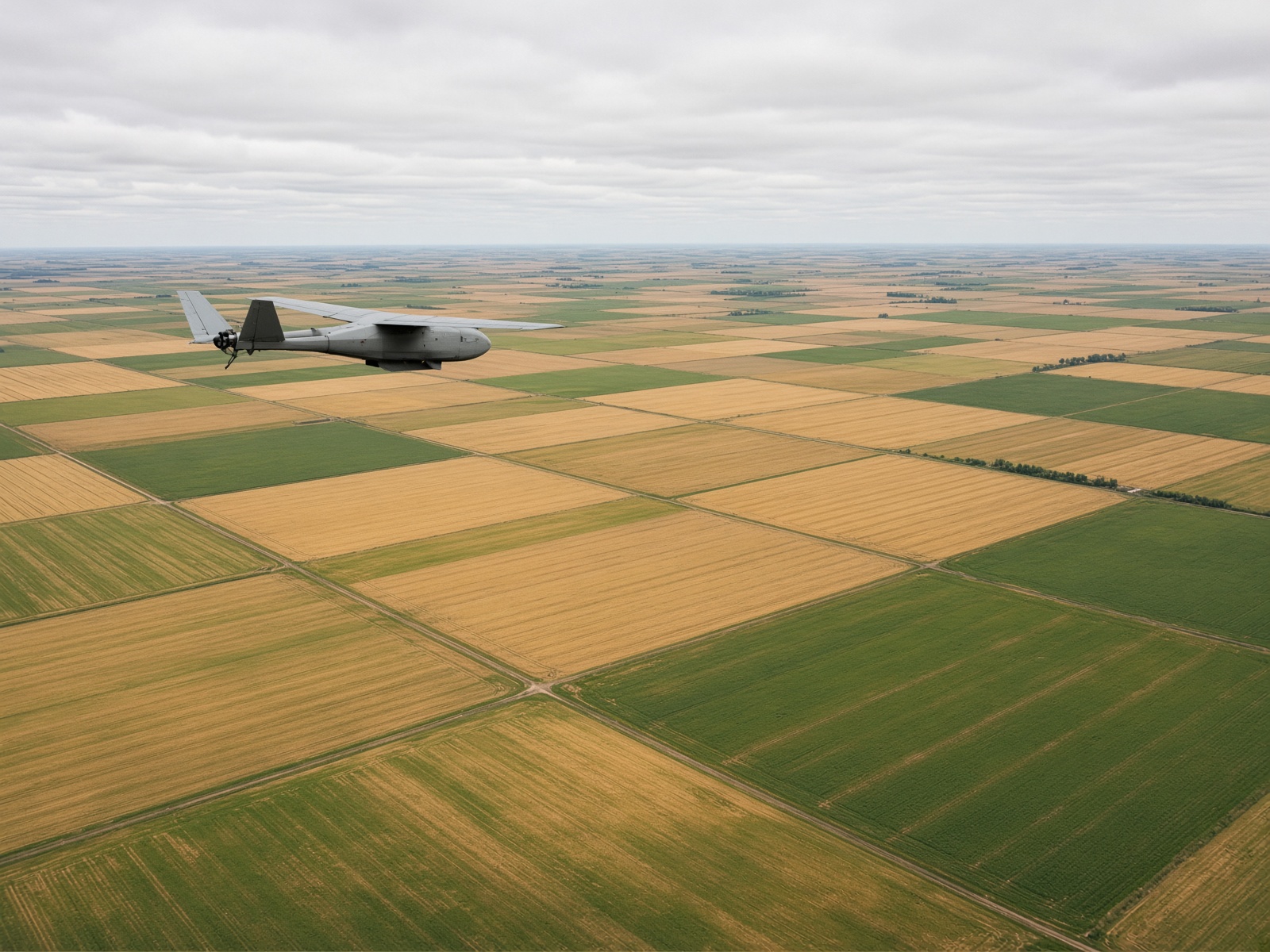
Survey and mapping
Photogrammetry flown to a spec: GCPs when you have them, RTK when you don’t, and deliverables that drop into CAD and GIS without a fight.
- Orthomosaics and digital surface models
- Stockpile and cut-fill volumes
- Corridor and right-of-way mapping
- GeoTIFF, LAS, and CAD exports